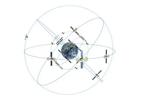
At 10:49 a.m. on May 17, 2023, China successfully launched the 56th navigation satellite of the Beidou system by a Long March 3B carrier rocket from the Xichang Satellite Launch Center.

The satellite has successfully entered the scheduled orbit, and will subsequently undergo orbit change, in-orbit testing, test and evaluation, and will enter the network to provide services in due course.
The 56th BeiDou navigation satellite was developed by the Fifth Academy of China Aerospace Science and Technology Corporation. The satellite is a geostationary orbit satellite, which is the first backup satellite of China's BeiDou-3 project. After being put into orbit and completing in-orbit testing, it will be connected to the BeiDou satellite navigation system. This launch is the first mission of the Beidou-3 project after three years of high-density networking.
The launch of the satellite will further enhance the system service performance, which is of great significance to the promotion of the characteristic services of the BeiDou system and the support of the scale application of the BeiDou system. The satellite realizes in-orbit hot backup of the existing geostationary orbit satellites, which will enhance the availability and robustness of the system, improve one third of the system's existing regional short message communication capacity, and improve the performance of satellite-based augmentation and precision single-point positioning services, which will help users to realize rapid and high-precision positioning.

With the integration and application of Internet+, 5G, artificial intelligence and emerging technologies and industrial models such as the sharing economy, satellite navigation technology has also given rise to new modes of economic and industrial development, such as fine agriculture, precision logistics, autonomous driving, intelligent transportation and smart cities, and is being integrated into all aspects of society with unprecedented depth and breadth. At present, Beidou system has been widely used in transportation, public security, agriculture, forestry and fishery, hydrological monitoring and other fields.
JUNODA as a rich RF technology, GNSS/UWB hardware and software development experience of the technical team of the R & D manufacturers, in the R & D of BeiDou module is also spared no effort, JUNODA BeiDou module belongs to JUNODA independent research and development, in terms of functionality is also more in line with China's positioning and navigation applications market. Junoda for automotive, industrial control and consumer applications, with rich experience in RF application design / EMC / ESD anomalies, independent research and development of a complete set of GNSS product production and testing software launched a series of high-quality industrial-grade single-frequency / dual-frequency / multi-frequency multi-mode BeiDou module, BeiDou 3 positioning module and dual-frequency BeiDou module (multi-mode), RTK BeiDou module, BeiDou timing module, BeiDou inertial guidance module, Antenna integration BeiDou module, BeiDou G-Mouse. support multi-system joint positioning and single system independent positioning, can realize the real-time positioning of the carrier, timing, speed measurement and other functions, can meet the positioning and navigation applications in various industrial fields.


