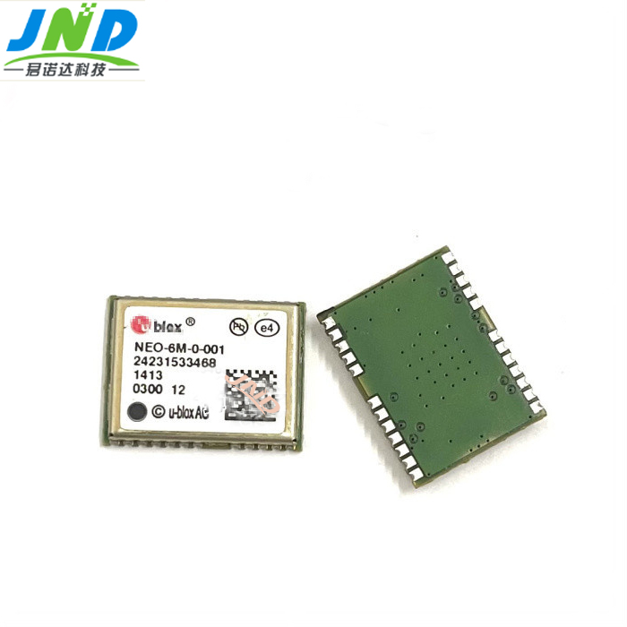
Network carrier phase dynamic real-time difference (RTK) It breaks through the operating distance and operating mode of traditional RTK. Compared with the traditional RTK, it has unrivaled advantages, which are reflected in the long operating distance, wide coverage, high accuracy and reliability, wide range of applications, high efficiency and easy operation.
Network RTK Communication Modes
Two-way data communication mode
In two-way data communication mode, users need to send their probabilistic positions to the data processing center. The data processing center selects the best reference station according to the user's probabilistic position, calculates the corresponding positive error or generates the virtual observation value, and then returns it to the user. The user calculates and corrects according to the error positives from the data processing center. At present, most of the established network RTK systems in China adopt this operation mode.
Network RTK operation process
(1) Start locking the observation satellite, then open the manual, establish the communication between the manual and the receiver through the Bluetooth protocol (hereinafter referred to as Bluetooth) or the connection line, start the measurement software, create a new file, and set the parameters of the network rtk measurement form.
(2)Dial up and connect to the Internet network through China Mobile GPRS or China Unicom using the communication module ** on the manual or receiver.
(3) Use the user name and password provided by the administrator of the network RTK system to connect to the data processing center of the network RTK system through the Internet network.
(4)Connect to the data center, get the source list, and start the measurement data acquisition after the initialization is completed and the fix solution is obtained.
(5) After the completion of the field work, download the measurement data stored in the manual or receiver to the computer for subsequent data preprocessing and graphic processing.
Determine the measurement area conversion parameters
Most of the current CORS playback difference correction parameters include coordinate conversion parameters. Taking Chihuahua CORS as an example, the correction parameters broadcasted by port:8003 include the conversion parameters for converting WGS84 coordinates to CGCS2000 coordinate system. when RTK measurement is carried out, the resultant coordinates under the CGCS2000 coordinate system can be obtained in real time.
The broadcast correction parameters do not include the coordinate conversion parameters, or the coordinates you want are in the local coordinate system, so what should we do?
This requires converting the results between coordinate systems. If there is a conversion parameter between the survey area coordinate system and the wgs-84 coordinate system, you can enter it directly in the manual to establish the coordinate conversion relationship, otherwise the conversion parameter needs to be solved by RTK point correction. There are at least three points in the plane and at least four control points are required for elevation fitting. When requesting the coordinate conversion parameters, the following points should be noted?
(1) The known points are best selected around the survey area and the center, evenly distributed, can effectively control the measurement accuracy within the survey.
(2) The local coordinates (plane and elevation) of the known points need to be highly accurate.
(3) Check the accuracy and correctness of the conversion parameters, you should choose a few known points are not involved in the calculation to check.
Selection of working environment conditions
In the network RTK operation, the time period when the ionosphere and troposphere are less active should be selected.
(1) The results of locking 6 or more satellites during operation are more reliable. If less than 6 satellites, the initialization takes a long time and the resolution accuracy is poor.
(2) Avoid noon and 2 or 3 p.m. in the afternoon when running, because the ionosphere is most active at this time, which has a greater impact on GNSS settlement and reduces the resolution accuracy.

Ltd. specializes in high-precision GNSS modules and wireless communication products, technology development and application promotion service providers, relying on the wireless communication technology in the field of R & D and promotion of experience, JUNODA set up a team with a wealth of experience in hardware and software development technology, aimed at domestic and foreign OEM / ODM customers and system integrators to provide high-quality, high-performance wireless modules and applications! We aim to provide high-quality, high-performance wireless modules and application programs to OEM/ODM customers and system integrators at home and abroad, and create long-term value for customers!
The company mainly provides integrated antenna module, dual-frequency high-precision module, single-frequency high-precision module, thousand-seeking high-precision module, Zhongke micro-positioning module, U-BLOX positioning module, SICOM communication module, inertial navigation DR module, UWM GNSS module, RTK differential module, 4G communication module and high-precision antenna, etc., the products are sold well in Beijing, Shanghai, Shenzhen, Guangdong, Jiangsu, Zhejiang, Sichuan, Hunan and other parts of the country. Our GNSS modules are widely used in many application fields, such as drones, vehicle security monitoring and dispatching, automatic bus stop announcement, DVR, car DVD navigation, GPS electronic dog, synchronized timing, high-altitude balloon monitoring, engineering machinery, industrial automation, etc. In the field of wireless communication products, the company is closely involved in the field of wireless communication, such as RTK differential module, 4G communication module and high-precision antenna.
In the field of wireless communication products, the company follows the latest development of international communication technology, introduces and acts as an agent for wireless communication modules that meet the market demand, and the products have a comprehensive layout from 2G, 3G, 4G, and are widely used in financial electronic payment, vehicle remote control, remote advertising information, repeater monitoring, mobile Internet terminals, smart home, remote medical care, network testing, enterprise information management, anti-theft alarm, Remote video transmission, intelligent meter reading, mobile computing, network navigation, voice phone, wireless gateway and other fields. Focused areas include video surveillance, network optimization, routers, POS and other M2M industry applications.
If you need to consult, please contact online customer service!


