In the era of Internet, IoT is PC; in the era of mobile Internet, IoT is cell phone, and in the era of smart IoT, IoT is all hardware.
What is "all hardware"?
All terminals you can imagine: cars, cell phones, shared bicycles, drones, work cards, helmets .....
AIoT, on the basis of the interconnection between things and people in traditional IoT, realizes the interconnection of devices and scenes, as well as connection and data interaction.
The interconnection and data interaction can not be separated from high-precision positioning services, which solves the ultimate problem of "where to come from and where to go" in the era of Internet of Everything. In the era of Intelligent Internet of Things, with the emergence of highly accurate and customized positioning needs, the infrastructure and high-precision positioning solutions in precise space-time services will be a new generation of science and technology and economic growth points to open up the spatial dimension of "thing-to-thing communication". However, fragmented application scenarios have higher requirements for positioning services. To summarize, IOT high-precision positioning applications have the characteristics of "low-cost, high concurrency, high precision, and massive terminals".
Cell phone terminal
In the field of mass consumption, smart phones are the most typical application of high-precision positioning technology.
In a report released by the National Development and Reform Commission in April this year, it is shown that among the domestic smartphone shipments in 2021, the number of cell phones supporting BeiDou's participation in GNSS joint positioning has reached 324 million, accounting for 94.5% of the total domestic smartphone shipments.
The high-precision positioning service is based on real-time dynamic differential technology, which provides higher-precision GNSS positioning, realizes the improvement from traditional road-level identification to more accurate lane-level identification, and brings a finer lane-based navigation experience.
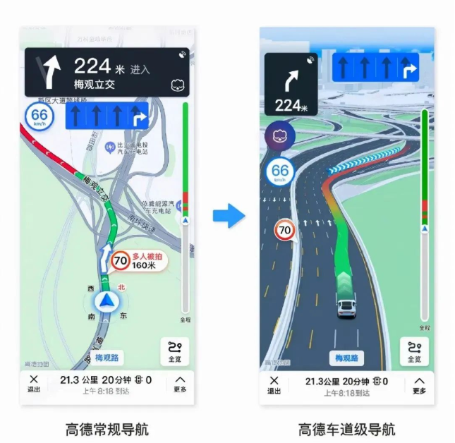
The so-called lane-level navigation mainly includes lane-level positioning, lane-level guidance and lane-level rendering. Lane-level positioning accurately identifies the current driving lane and quickly recognizes and alerts the user when the vehicle deviates from the route; lane-level guidance, based on the driving lane, notifies the user in advance of the lane selection and lane change timing; and lane-level rendering, with refined lane line display and lane surface indication, allows the user to keep track of the lane road condition. Users with lane-level navigation service enabled will be automatically provided with lane-level navigation when navigating with the Maps app and driving on supported roads.
Bicycle Sharing
In recent years, two-wheeled vehicle sharing has also ushered in great development, with market investment reaching more than 10 million, bringing great convenience to the public traveling. Shared two-wheeled vehicle application scenarios are mostly found at subway entrances, bus stops, community entrances, industrial zones/office building entrances, shopping malls, squares and other occasions with high traffic flow, and the environments in which they are parked are complex and varied: they include high-rise buildings, tree shades and overpasses, as well as other places where the satellite signals are blocked.
The rough mode of parking everywhere in the early stage of shared two-wheeled vehicles brings great obstacles and inconvenience to roads and pedestrian traffic, and adds difficulties to urban management. In order to manage the parking problem of shared vehicles, parking in the parking frame is regulated, while introducing cell phones, Bluetooth WIFI and satellite common positioning technology. Due to the complexity and diversity of the parking lot scene, cell phones, Bluetooth, WIFI and satellite ordinary positioning error accuracy in a few meters, even up to dozens of meters, still can not be a good solution to the problem of shared car chaotic parking, the user to return the car is difficult or the box can be returned to the car and so on.
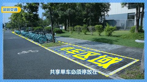
High-precision positioning is based on satellite positioning, using ground-based enhancement system combined with RTK technology, eliminating the error of the satellite itself and the error of the propagation path, so as to improve the positioning accuracy, and part of the scene can be sub-meter positioning accuracy, and even centimeter positioning accuracy; high-precision positioning for shared two-wheeled vehicles, greatly improving the positioning accuracy, most of the scene can realize the box to return the car, the frame can not be returned to the car, thus This standardizes the behavior of returning shared two-wheeled vehicles, effectively regulates the management of shared vehicles by the operating platform, and penalizes users who do not park in a standardized manner. High-precision positioning meets the positioning requirements for the management and use of shared vehicles, while not causing obstruction to traffic and pedestrians.
Drones
According to different application scenarios, drones are divided into four main categories: consumer drones, plant protection drones, industry drones, and formation performance drones.
Consumer drones are not yet utilizing high-precision capabilities due to space and cost constraints.
Plant protection UAVs are mostly hexa- or quadcopter rotor UAVs, whose flight status is mainly determined by the flight control unit, with a high dependence on autonomous flight, and a strong demand for RTK, with an accuracy requirement of at least 10 cm or less.There are two types of RTK data transmission links, one is to directly communicate and solve the problem directly through the on-board flight control terminal, and the other one is to forward the RTK differential corrections through the remote control airwave communication.
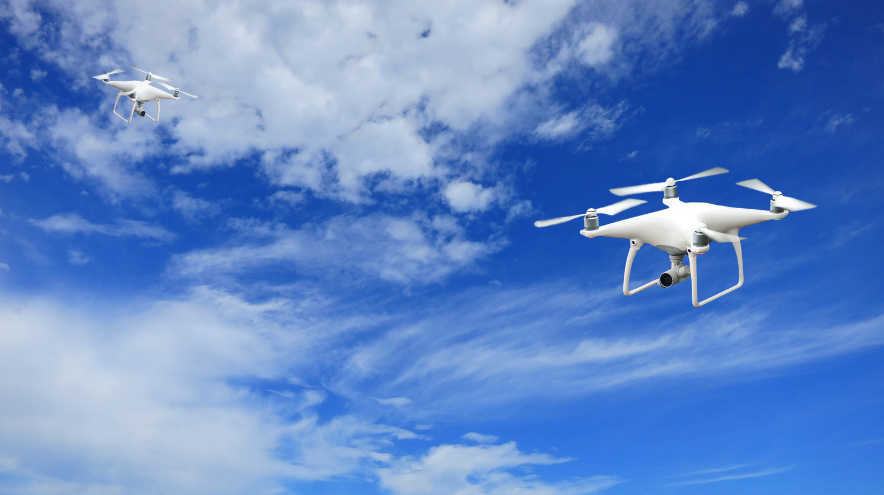
There are more application scenarios for industry drones, such as aerial survey, inspection, public security, firefighting, emergency disaster relief, etc., and the specific uses are also varied. In aerial survey drones, both rotary wing and fixed wing drones are used. Most of the fixed-wing UAVs are used in large-area operations because of their long endurance and high flight altitude, while rotary-wing airplanes will have a higher utilization rate in small-area operations.
Formation performance drone for drone formation performance. The requirements for autonomous flight of UAVs in formation performances are not high, but static, dynamic and stabilizing capabilities are of more concern to manufacturers of formation performances. Static represents whether the aircraft is able to keep pointing and hitting wherever, dynamic indicates whether the aircraft can fly according to the established line of travel without rubbing against other aircraft, and stable represents no jumping point and no drift.
Agriculture
Categorized according to the terminal, it can be divided into agricultural robots, automatic navigation of agricultural machinery and agricultural pointing devices.
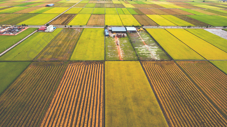
Sowing, fertilizing, transplanting, weeding and other time-consuming, highly repetitive and intense work in traditional agriculture can be replaced by robots. The spacing between rows and ridges of different crops, crop spacing, planting depth is not the same, and plants are growing continuously, so the realization of agricultural automation of agricultural robots on the environment and crop real-time perception of the ability to require a high degree of localization accuracy is generally required within 5cm, the higher the accuracy, the better.
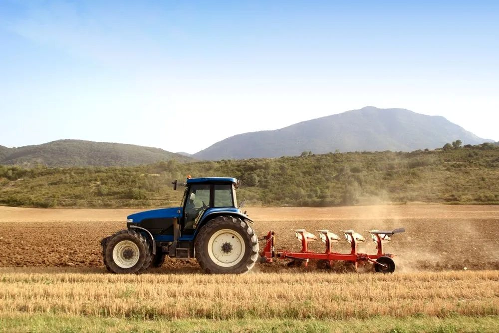
Agricultural machinery automatic navigation is divided into front-loading market and rear-loading market, China's agricultural machinery navigation technology has become increasingly mature, quite a hundred competing trend. Agricultural automatic navigation, also known as agricultural automatic driving, agricultural self-driving instrument, etc., is to help farmers free their hands, so that agricultural machinery in the field of automatic operation of a device. The automatic navigation of farm machinery in the aftermarket is aimed at upgrading and transforming the previous non-automatic agricultural machinery, so that it can carry out autonomous driving operations on planned routes. Agricultural automatic navigation on positioning and orientation requirements are quite high, usually requires GNSS module positioning accuracy within 2cm, the maximum can not exceed 5cm, because each field is planned, if the positioning is not allowed will directly affect the harvest. At the same time, the agricultural operation season is a matter of minutes and seconds, which has high requirements for high reliability and high concurrency of high precision services.
Intelligent Parking
A more typical application case is the smart parking inspection vehicle, which has the advantages of free installation of urban infrastructure, movable vehicles, simple and easy to operate, and reduced manpower input, solving the high operation and management costs of the urban parking industry, the low efficiency of manual charging, and the high cost of labor industry pain points.
Compared with a group of on-street high level camera can only cover 4-6 parking spaces, an inspection vehicle can cover 100-200 on-street parking spaces. Inspection car equipped with high-definition cameras and high-precision positioning terminals, through the integration of mobile video technology and high-precision positioning technology, to achieve automatic accurate positioning of the parking vehicle location, parking license plate and parking location information is accurately collected, and through the inspection car regular patrol to obtain the parking vehicle parking time, this information can be sent by the inspection car equipped with a mobile network to the parking lot management platform for unified management, to complete the vehicle positioning and billing. Complete vehicle positioning and billing. The parking lot management platform will pay the fee and inspection management information distributed to the owner APP, inspector APP.
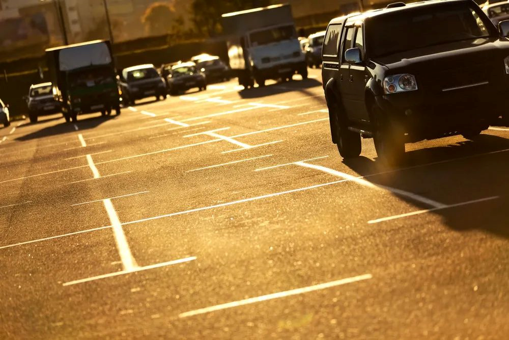
Accurate spatio-temporal empowers multiple scenarios for IoT, and high-precision positioning technology has become an important application across multiple industries and scenarios. In the future, it is the data of everything with spatio-temporal coordinates that will guide the development of IoT.


