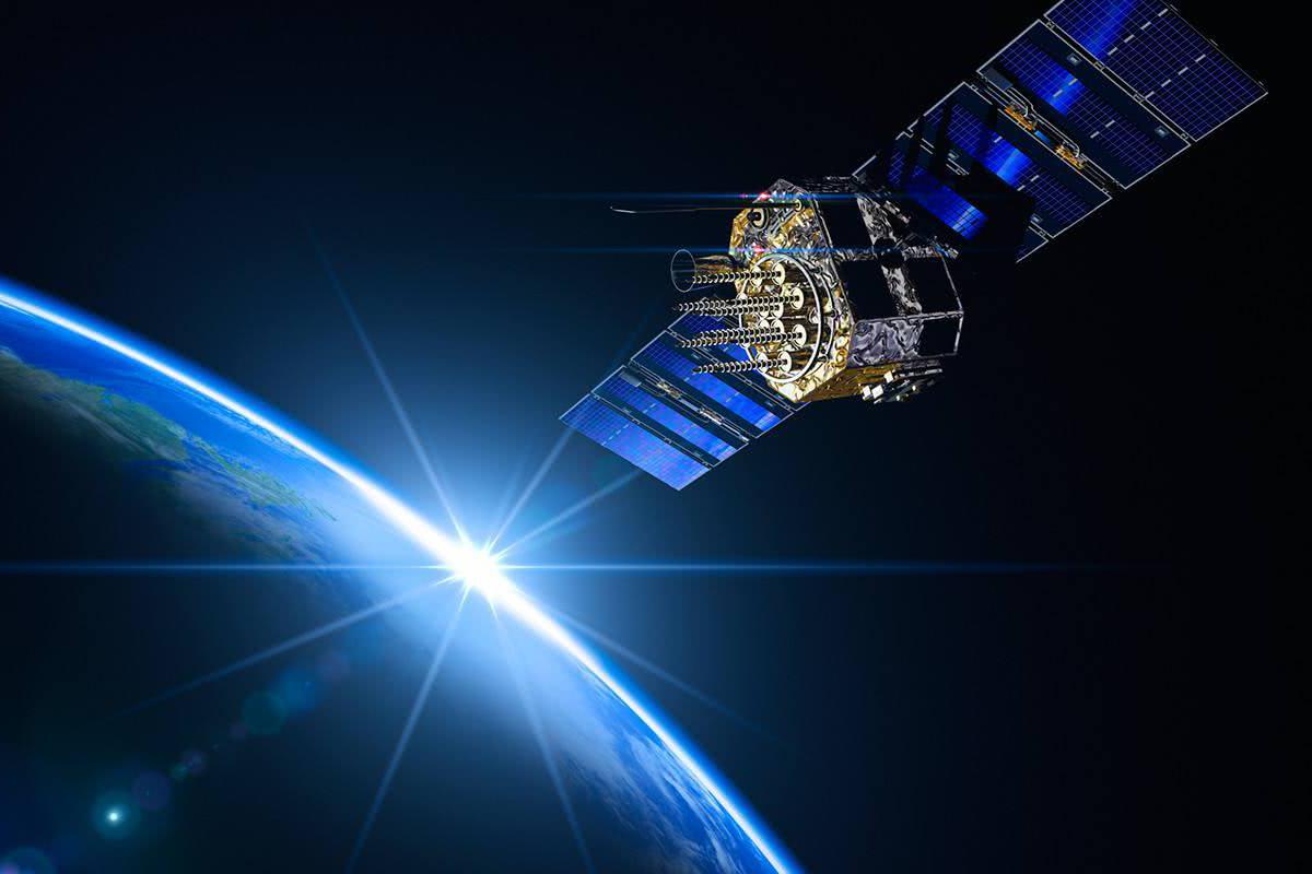
What is gnss? How is it related to GPS?
Global NavigaTIon Satellite System (GNSS), is the same title for these individual satellite navigation and positioning systems, such as China Beidou, GPS, GLONASS, Galileo system, etc., and can also refer to their augmented systems, and also refers to all these satellite navigation and positioning systems and their augmented systems and their augmentations. In other words, it is a large system composed of multiple satellite navigation and positioning systems and their augmentation systems. GNSS is a star-level radio navigation system using artificial satellites as navigation stations, providing all-weather, high-precision position, speed and time information for various types of military and civilian carriers on land, at sea, in the air and in the sky around the globe, because it is also known as space-based positioning, navigation and timing system.

Global Positioning System (Global Positioning System, or GPS for short) is a positioning system based on artificial Earth satellites with high-precision radio navigation, which can provide accurate geographic location, vehicle speed and precise time information anywhere in the world as well as in the near-Earth space.
Therefore, GPS is an omni-directional, all-weather, all-time, high-precision GNSS system developed and established by the U.S. Department of Defense, which can provide low-cost, high-precision three-dimensional position, speed and precise timing and other navigational information for users around the globe, and it is a model for the application of satellite communication technology in the field of navigation.
GPS is the earliest global positioning system and the most successful satellite positioning system in current application, and is regarded as a milestone of human positioning technology. Summarized, the system has the following characteristics :
(1) global, all-weather continuous navigation and positioning capabilities. GPS can provide continuous, all-weather navigation and positioning capabilities for all types of users in any location in the world or near-Earth space, users do not have to transmit signals, and thus can satisfy the use of multi-user.
(2) real-time navigation, high positioning accuracy and short observation time. When utilizing GPS positioning, several times of position data can be obtained within 1s, this near real-time navigation capability is of great significance for highly dynamic users, and at the same time, it can provide users with continuous three-dimensional position, three-dimensional speed and accurate time information. At present, the real-time positioning accuracy using C/A code can be up to 20-50m, the speed accuracy is 0.1m/s, and using special processing can be up to 0.005m/s, and the relative positioning accuracy can be up to millimeter level.
With the continuous improvement of the GPS system and the continuous updating of the software, the current relative static positioning within 20km only takes 15-20min, fast static relative positioning measurement, when each mobile station and the reference station is within 15km of each other, the observation time of the mobile station is only 1-2min, and then it can be positioned at any time, and the observation of each station only takes a few seconds.
(3) No need to visualize the stations: GPS measurement only requires open air over the stations, and does not require the stations to visualize each other, so it can save a lot of cost of building markers (generally, the cost of building markers accounted for 30%, 50% of the total funding). Since there is no need for inter-point visualization, the location of points can be sparse or dense according to the needs, which makes the point selection work become very flexible, and also eliminates the classical measurement of the transmission point, the transition point of the measurement work.
(4) It can provide globally unified three-dimensional geocentric coordinates: GPS measurement can accurately determine the station plane position and geodetic elevation at the same time. At present, GPS level can meet the accuracy of fourth-class level measurement. In addition, GPS positioning is calculated in the globally unified WGS-84 coordinate system, so the measurement results of different locations around the world are interrelated.
(5) Easy operation of instrument: With the continuous improvement of GPS receiver, the automation degree of GPS measurement is getting higher and higher. In the observation towel surveyor only need to place the instrument, connect the cable, measure the antenna height, monitor the working status of the instrument, and other observation work, such as satellite catching, tracking observations and records are automatically completed by the instrument, the end of the measurement, only need to turn off the power supply, put away the receiver, will complete the field data collection tasks, if to a station to do a long time continuous observation, but also through the data communication mode. The collected data can be transmitted to the data processing center to realize fully automated data collection and processing. In addition, the volume of the receiver is getting smaller and smaller, and the corresponding weight is getting lighter and lighter, which greatly reduces the labor intensity of the measurement authors and makes the field work easier.
(6) strong anti-interference ability, good confidentiality: GPS using spread spectrum technology and pseudo-code technology, the user only needs to receive GPS signals, they will not transmit signals, and will not be subject to external interference from other signal sources.
(7) multi-functional, widely used: GPS is a military and civilian dual-use system, its application range is very wide. Specific application examples include: automobile navigation and traffic management, patrol line vehicle management, road engineering, personal positioning and navigators.
Nowadays, satellite technology is applied to every aspect of our life, which greatly improves the level of informatization of the earth society and strongly promotes the development of digital economy.


