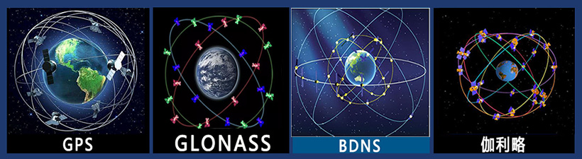
Development of Global Satellite Navigation System
Due to the all-weather, high-precision and automatic measurement characteristics of GPS technology, it has been integrated into various application fields of national economic construction, national defense construction and social development as an advanced means of measurement and a new productive force.
With the end of the Cold War and the vigorous development of the global economy, the U.S. government announced that during the period from 2000 to 2006, under the premise of ensuring that U.S. national security is not threatened, the SA policy will be canceled, and the accuracy of GPS civil signals will be improved globally, and the accuracy of single-point positioning using the C/A code will be improved from 100 meters to 20 meters, which will further promote the application of GPS technology and improve productivity , operational efficiency, scientific level and people's quality of life, stimulating the growth of the GPS market. According to the relevant experts predicted that in the United States, the car GPS navigation system alone, the market will reach 3 billion U.S. dollars after 2000, and in China, the car navigation market will also reach 5 billion yuan. It can be seen that the application prospect of GPS technology market is very considerable.
Development of GPS Continuous Operation Station Network and Integrated Service System (IGS)
The IGS (International GPS Service), formed on the basis of global ground-based GPS continuous operation stations (about 200), is an example of GPS continuous operation station network and integrated service system. It provides all kinds of GPS information to global users free of charge, such as GPS precision ephemeris, fast ephemeris, forecast ephemeris, coordinates of IGS stations and their movement rates, phase and pseudo-distance data of GPS signals received by IGS stations, and the earth's rotation rate. This information supports countless scientific projects in geodesy and geodynamics, including ionosphere, meteorology, reference frames, precision time transfer, high-resolution derivation of the Earth's rotation rate and its variations, crustal motions, and more.
(1) There are three types of orbits provided by IGS: one is the final (precision) orbit, which is to be obtained after 10—12 days, and is commonly used for precision positioning; the second is the express orbit, which is to be obtained after 1 day, and which is commonly used for atmospheric water vapor content, ionospheric calculations, etc.; and one type is the forecast orbit.
Estimates of the bias aspects of GPS clocks are available only from the two IGS analysis centers.Of the nearly 200 permanently and continuously operating global tracking stations of the IGS, nearly 70 external frequency standards are used, of which about 30 use hydrogen clocks, about 20 cesium atomic clocks, about 20 rubidium atomic clocks, and the rest use the crystal oscillator internal to the GPS.
(2) IGS also provides polar shift and UTC information.The IGS publishes the final daily polar coordinates (x, y) with an accuracy of ±0.1mas, and the corresponding accuracy for the snapshot is ±0.2mas.GPS, as a space geodetic technology, does not have the capability of determining Universal Time (UT) per se, but since on the one hand the GPS satellite orbital parameters and UT, on the other hand, it is also related to the determination of the Earth's rotation rate, which is the time derivative of UT, so IGS can still give the value of the length of day (LOD) per day.IGS can further determine the chapter motion term and high-resolution polar shift (up to 1 every 2 hours), the latter is mainly due to the improvement of the quality of the observation of IGS stations, the data transmission is rapid and timely, as well as the improvement of data processing methods, and there is no essential change in the quality of observation. The latter is mainly due to the improvement of the observation quality of IGS stations, the rapid and timely data transmission, and the improvement of the data processing method, and there is no essential change, while the former is a technological leap.
(3) An extremely useful and important piece of information provided by IGS is the coordinates of the continuously operating stations (tracking stations) of IGS, the corresponding frames, the calendar elements, and the speed of station movement. On March 1, 1998, it switched to ITRF96, and on August 1, 1999, IGS began using ITRF97.
(4) A new contribution of IGS to the determination of short-term chapter motions: GPS technology cannot determine UT but only day length, and the same principle applies to chapter motions, i.e., GPS data cannot determine the longitude and inclination of the chapter motions, but it can determine the temporal variability (derivative with respect to time) of these quantities.
In terms of regional GPS continuous operation station network and integrated service system, developed countries have also done a lot of work in this regard, and progress has been made. In the United States laid GPS & ldquo; continuous operation reference station & rdquo; (CORS) system. It is by the United States Geodetic Survey (NGS) is responsible for, the system's current goal is (1) so that all users around the United States can be more convenient to use it to achieve the centimeter level of positioning and navigation; (2) to promote the use of users of CORS to the development of GIS; (3) to monitor crustal deformation; ④ determination of the distribution of water vapor in the atmosphere; ⑤ monitoring of the ionosphere in the concentration of free electrons and distribution.
As of September 1999, there were 156 stations in CORS, and the U.S. NGS announced that in order to strengthen the CORS system, it was improving the spatial coverage of the system by adding three more stations every month. In addition, CORS data and information including received pseudo-range and phase information, station coordinates, station movement rate vector, GPS star gas, meteorological data around the station, etc., can be easily downloaded and obtained by the user through information networks such as the Internet.
The function and purpose of the “Continuous Operation GPS Reference Station” (COGPS) system established in the United Kingdom