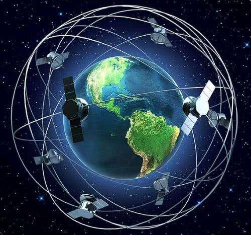
GPS satellite system working principle
In the test frame of the GPS satellite GPS satellite is developed by the space department of Rockfair International Corporation, the satellite weighs 774kg, and its service life is 7 years. Satellite cellular structure, the main body is columnar, diameter 1.5 m. Satellite two sides are equipped with two double-leaf solar battery sail panels directed to the sun (BLOCK I), the total length of 5.33 m to accept the sun area of 7.2 m2. Directed to the sun system to control the two wings of the battery sail panels rotate, so that the board is always aligned with the sun, for the satellite to provide power constantly, and to three groups of 15Ah cadmium-nickel batteries to charge to ensure that satellite can work normally in the shadow part of the earth. A 12-unit multibeam directional antenna is mounted on the bottom of the body of the star, capable of transmitting signals in two L-bands (19cm and 24cm waves) at an angle of about 30 degrees. Omni-directional telemetry antennas are mounted on both sides of the body for communication with the ground monitoring network. In addition, the satellite is equipped with an attitude control system and an orbit control system in order to maintain the satellite at the appropriate altitude and angle and to accurately align the satellite with the visible ground.
As can be seen from the working principle of the GPS system, the higher the accuracy of the on-board clock, the higher its positioning accuracy. Early experimental satellites used quartz oscillators developed by Hopkins University, the relative frequency stability of 10 − 11/day. After 1974, gps satellites used rubidium atomic clocks, the relative frequency stability reached 10 − 12/day, error 8m. 1977, BOKCK II type used cesium atomic clocks developed by Maas Frequency and Time Systems Company, the relative frequency stability reached 10 − 13/day, the error is reduced to 2.9m. 1981, Hughes Company developed a relative stable frequency of 10 − 13/day, error is reduced to 2.9m. In 1981, Hughes developed a hydrogen atomic clock with a relatively stable frequency of 10 − 14/day, which enabled the BLOCK IIR satellite to achieve an error of only 1m.
To accomplish this, the position of the satellite can be found in the satellite ephemeris based on the time recorded by the on-board clock. The distance from the user to the satellite is obtained by recording the time it takes for the satellite signal to propagate to the user and multiplying it by the speed of light (due to the interference of the ionosphere of the atmosphere, this distance is not the real distance between the user and the satellite, but is a pseudo distance (PR): when GPS satellites are functioning normally, they will continually emit navigation messages with pseudo-random codes (pseudo-codes, for short) made up of binary code elements of 1 and 0. The pseudo-codes used by the GPS system are a total of 1 and 0, which is the same as that of the satellite. There are two kinds of pseudo-random codes used in GPS system, which are civil C/A code and military P(Y) code. C/A code has a frequency of 1.023MHz, a repetition period of one millisecond, and a code spacing of 1 microsecond, which is equivalent to 300m; P code has a frequency of 10.23MHz, a repetition period of 266.4 days, and a code spacing of 0.1 microseconds, which is equivalent to 30m; while Y code is formed on the basis of P code, with better secrecy performance. better. The navigation message includes satellite ephemeris, working condition, clock correction, ionospheric delay correction, atmospheric refraction correction and other information. It is from the satellite signal - {A|zh-cn: demodulation; zh-tw: demodulation} - out to 50b / s - {A|zh-cn: modulation; zh-tw: modulation} - in the carrier frequency transmission. Each main frame of the navigation message contained five subframes each 6 s long. The first three frames each had 10 character codes; they were repeated every thirty seconds and updated every hour. The last two frames have a total of 15,000 b. The contents of the NAV message are mainly telemetry code, conversion code, the 1st, 2nd, and 3rd data blocks, of which the most important is ephemeris data. When the user receives the navigation message, the satellite time is extracted and compared with their own clock to know the distance between the satellite and the user, and then use the satellite ephemeris data in the navigation message to deduce the location of the satellite transmitter message, the user's position in the WGS-84-{A|zh-cn:Geodetic Coordinate System;zh-tw:Geodetic Coordinate System}- the location of the user's speed and other information can be known. It can be seen that the role of the satellite part of the GPS navigation system is to continuously transmit navigation messages. However, because the user receiver using the clock and satellite on-board clock can not always be synchronized, so in addition to the user's three-dimensional - {A|zh-cn: coordinates; zh-tw: coordinates} - x, y, z, but also to introduce a Δ t that is, between the satellite and the receiver as an unknown number of the time difference between the unknowns, and then use the four equations will be the 4 unknowns to solve out. So if you want to know where the receiver is located, you need to be able to receive signals from at least 4 satellites.