GPS Application to Troposphere Monitoring In GPS application, in the early stage, mainly the orbit error affects the positioning accuracy, and the early GPS baseline is relatively short and the height difference is not big, so the study of the troposphere has not been give...
More+GPS applications for ionospheric monitoring The application of GPS in monitoring the ionosphere is also the beginning of GPS space meteorology. Space is full of plasma, cosmic ray particles, various bands of electromagnetic radiation, as the sun often throws out megatons o...
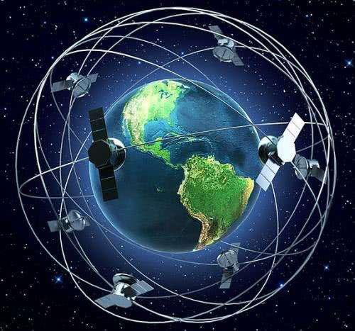
More+The basic principle of satellite navigation system The basic principle of the GPS navigation system is to measure the distance from a satellite of known position to the user's receiver, and then synthesize the data from multiple satellites to know the exact location of...
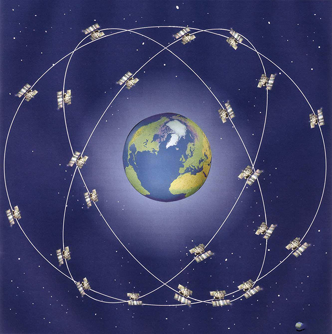
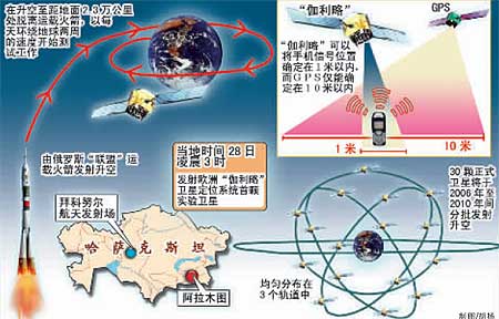
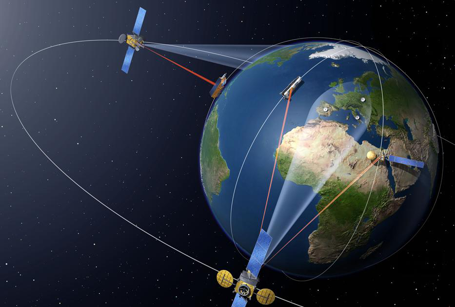
More+System Composition of Global Navigation Satellite System(1) U.S. GPS satellite navigation system  ...
More+Applications of Satellite Positioning The main uses of GPS: ① land applications, mainly including vehicle navigation, emergency response, atmospheric physical observation, geophysical resource exploration, engineering surveys, deformation monitoring, crustal movement moni...
More+Satellite PositioningSatellite positioning system is a technology that uses satellites to accurately locate something, which has evolved from the initial low positioning accuracy, inability to locate in real time, and difficulty in providing timely navigation services, to today's high-precision...
More+Global Navigation Satellite SystemThe GLONASS system consists of three parts: satellites, ground measurement and control stations, and user equipment. The system consists of 21 working stars and 3 The GLONASS system began to be developed in the 1970s, and the first satellite was launched into orbit...
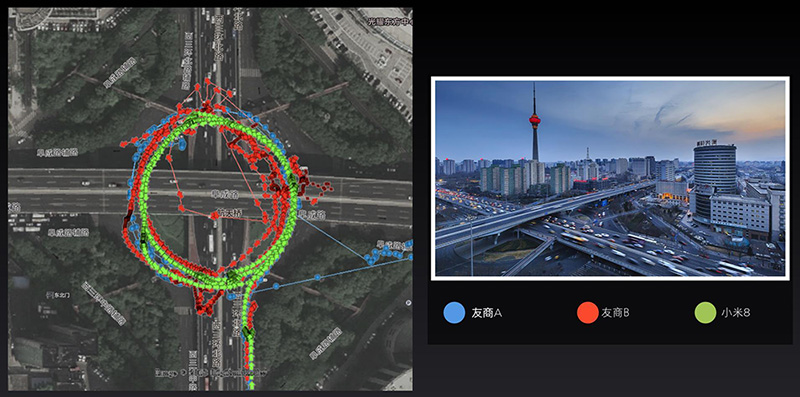
More+Can GPS locate it on the viaduct vs. under the viaduct?On the viaduct is possible, because the bridge is facing the sky, of course, can receive satellite signals for positioning; but under the viaduct, because almost all are blocked, so it can not be positioned, then you need to use the inertial gui...
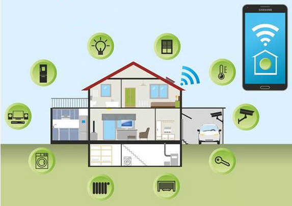
More+Introduction of Wireless Communication Module Wireless communication modules are widely used in vehicle monitoring, remote control, telemetry, small wireless networks, wireless meter reading, access control systems, cell paging, industrial data acquisition systems, wireles...
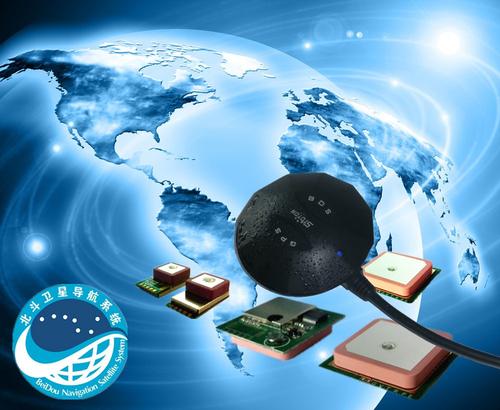
More+Armed with BeiDou navigation that's more accurate than GPS, Gaode Maps' autonomous driving goes one step further As the research and development of automatic driving continues to deepen, relying solely on the & ldquo;sensor + control system” approach...
More+